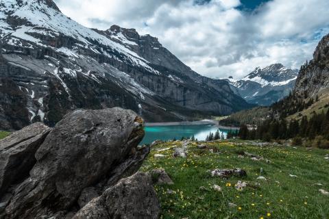
The GPU Snow Use Case plans to provide a solution by improving the capillarity of mountain environment monitoring by applying advanced image processing workflows capable to extract useful environment information from large collections of publicly available mountain related multimedia data.
The solution we are pursuing is an original method to derive information on mountain snow coverage from massive public web content. The method uses an image processing workflow that aligns the picture taken by the user or crawled from a touristic webcam to a synthesized rendered view of the terrain that should be seen from the camera point of view; the synthetic panorama is generated by a projection applied to a (publicly available) Digital Elevation Model (DEM) of the Earth. This supports decision-making in a snow dominated mountain context, e.g., the prediction of water availability from snow coverage in the mountain peaks.
The improvements offered by the adoption of the SODALITE approach, will result, from the perspective of the case study in:
- An improvement in the number of images fully processed per second, thanks to GPU cloud task allocation, parallelism of task steps, improvement in IO management (target improve throughput by 20%)
- An improvement in the range 5-10% of the accuracy in skyline detection, thanks to the increase in the number of image pre and post-processing steps due to the increase in performance.
