SODALITE is building a scalable tool to exploit the mountain images from web cams and user photos to estimate the snow pack in predict water availability in Alpine lakes.
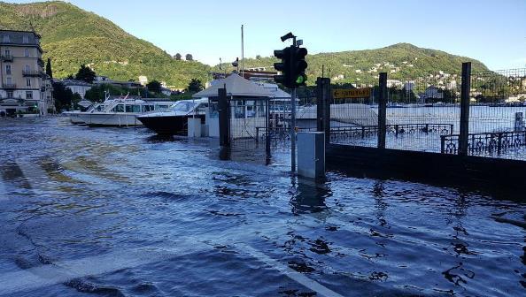
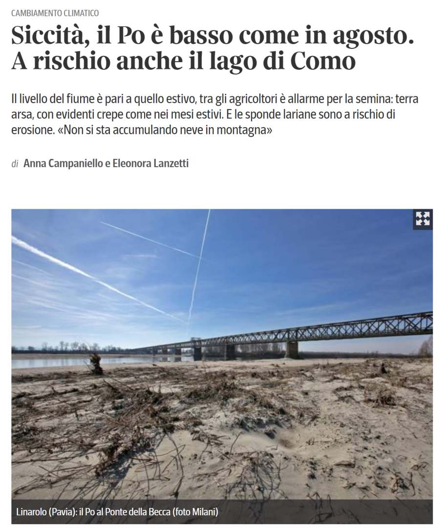
Water is the next oil. Climate change is challenging the human capacity at managing water resources, with the paradoxical result that extreme events such as droughts and floods can be experienced in the same place in a short amount of time. In the Alpine region, water supply is mostly bound to the storage capacity of Alpine lakes, which in turn depends on the amount of snow accumulated in the mountains during the winter season.
Estimating the water content of the snow pack is a difficult problem. Ground measuring stations are scarce and very rare at locations above 1000m altitude. SODALITE aims at exploring the concept of virtual snow measurement, which relies on the analysis of mountain images to detect the presence of snow on the mountain tops. This would allow the estimate of snow indexes, which can help lake regulators to better predict the availability of water and optimize the water flow towards the competing uses of the industry, the agriculture, and the domestic consumers.
The SODALITE powerful runtime management framework will be exploited to deploy software components that can acquire mountain images from online web cams and user generated photos in social media, geo-localize the mountains portrayed in such images, detect the presence of snows on the mountain tops, and calculate useful snow indexes. More than 2000 touristic web cams are available in the Alpine region and user generated photos amount to millions. Therefore, the SODALITE runtime monitoring and optimization tools will be essential to ensure that the snow detection components work at the maximum capacity and without interruption over the long period of time required to collect the data necessary for reliable estimations.


